")

bool(false)

bool(true)

bool(true)

int(0)
Staten Island, NY 10310
Foreclosure History
Lis Pendens
Property details
The description and property data below may have been provided by a third party, the homeowner or public records.
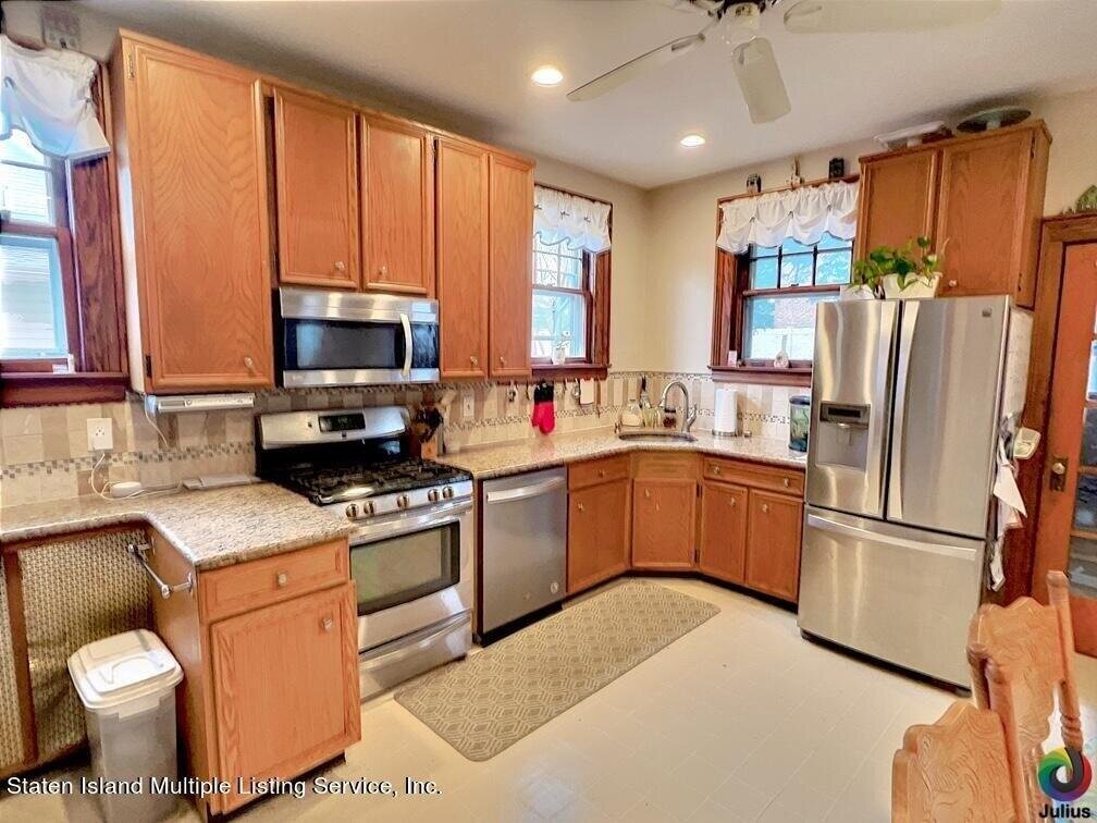
471 Davis Ave, Staten Island, NY 10310 is a Single Family Home built in 1935. This property was last sold for $839,000 in 2023 and currently has an estimated value of $930,200. According to the Staten Island public records, the property at 471 Davis Ave, Staten Island, NY 10310 has approximately 2,380 square feet, with a lot size of 5,600 square feet. Nearby schools include Ps 45 John Tyler, Ps 18 John G Whittier, Ps 373 and The Michael J Petrides School.
Primary Land Use and Tax Lot Information
for 471 Davis Ave

Property Price History
for 471 Davis Ave
| Date | Event | Price | ||
|---|---|---|---|---|
| Dec 8, 2023 | Sold | $839,000 | $353 | Public Record |
| Nov 2, 2023 | Sold | $839,000 | $318 | StatenIsland |
Property Tax History
for 471 Davis Ave
| Year | Taxes | |
|---|---|---|
| 2024 | $7,965 | $49,800 |
| 2023 | $7,656 | $52,620 |
Sold Homes
near 471 Davis Ave
| Address | Price | Beds | Baths |
|---|---|---|---|
|
Staten Island, NY 10301SF
|
$850,000
06/18/2025
|
3
|
2
|
|
Staten Island, NY 10310SF
|
$920,000
06/13/2025
|
8
|
3
|
|
Staten Island, NY 10301SF
|
$1,060,000
02/28/2025
|
4
|
4
|
|
Staten Island, NY 10310SF
|
$1,275,000
06/13/2025
|
3
|
4
|
|
Staten Island, NY 10310SF
|
$810,000
03/28/2025
|
5
|
2
|
Homes For Sale
near 471 Davis Ave
| Address | Price | Beds | Baths |
|---|---|---|---|
|
Staten Island, NY 10304SF
|
$1,097,000
21 days ago
|
4
|
3
|
|
Staten Island, NY 10314SF
|
$998,000
188 days ago
|
6
|
3
|
|
Staten Island, NY 10301SF
|
$599,999
41 days ago
|
4
|
3
|
|
Staten Island, NY 10302SF
|
$649,999
76 days ago
|
4
|
2
|
|
Staten Island, NY 10301SF
|
$999,500
98 days ago
|
5
|
4
|
Home Value
for 471 Davis Ave
Estimated values are not a substitute for professional expertise. Contact your RE agent for a market assessment.
Schools
serving 471 Davis Ave
| School Name | Rating |
|---|---|
|
301 North Burgher Avenue, Staten Island, NY 10310
|
— |
|
641 Delafield Ave, Staten Island, NY 10310
|
— |
|
58 Lawrence Avenue, Staten Island, NY 10310
|
5 / 10 |
Data provided by
GreatSchools.org © 2025. All Rights Reserved.
School service boundaries are intended to be used as reference only.
To verify enrollment eligibility for a property, contact the school directly.
Flood Factor
for 471 Davis Ave
1
|10
Minimal

FEMA Zone (Est.)
X (unshaded)
Flood insurance:
Recommended
Flood risks are increasing as sea levels rise and weather patterns change.
This property has a
Minimal Flood Factor
.
Although flood risks across the country are changing because of the environment, this property is unlikely to flood over the next 30 years.
Although flood risks across the country are changing because of the environment, this property is unlikely to flood over the next 30 years.
Flood Factor data provided by FloodFactor.