

bool(false)

bool(true)

bool(true)

int(0)
Staten Island, NY 10305
Foreclosure History
Property details
The description and property data below may have been provided by a third party, the homeowner or public records.
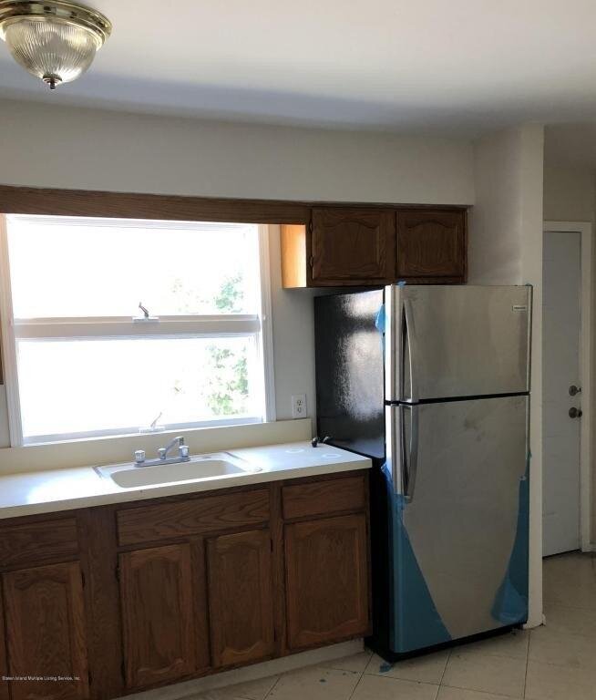
332 St Johns Ave, Staten Island, NY 10305 is a Multi Family Home built in 1986. This property was last sold for $1,500 in 1998 and currently has an estimated value of $1,020,600. According to the Staten Island public records, the property at 332 St Johns Ave, Staten Island, NY 10305 has approximately 2,326 square feet, with a lot size of 3,760 square feet. Nearby schools include Ps 39 Francis J Murphy Jr, Ps 57 Hubert H Humphrey, Ps 13 M L Lindenmeyer and YOUNG WOMEN'S LEADERSHIP OF SI.
Primary Land Use and Tax Lot Information
for 332 St Johns Ave

Real Property Records
for 332 St Johns Ave | Document Type | ||||
|---|---|---|---|---|
Property Price History
for 332 St Johns Ave
| Date | Event | Price | ||
|---|---|---|---|---|
| Sep 26, 2024 | Listing removed | $1,600 | $1 | StatenIsland |
| Aug 16, 2018 | Listing removed | $1,500 | $1 | StatenIsland |
Property Tax History
for 332 St Johns Ave
| Year | Taxes | |
|---|---|---|
| 2024 | $8,104 | $55,020 |
| 2023 | $7,755 | $58,740 |
Sold Homes
near 332 St Johns Ave
| Address | Price | Beds | Baths |
|---|---|---|---|
|
Staten Island, NY 10305MF
|
$847,000
02/12/2025
|
4
|
2
|
|
Staten Island, NY 10304MF
|
$953,000
06/19/2025
|
5
|
2
|
|
Staten Island, NY 10305MF
|
$930,000
06/20/2025
|
5
|
2
|
|
Staten Island, NY 10304MF
|
$620,000
06/18/2025
|
2
|
1
|
|
Staten Island, NY 10305MF
|
$940,000
06/18/2025
|
3
|
3
|
Homes For Sale
near 332 St Johns Ave
| Address | Price | Beds | Baths |
|---|---|---|---|
|
Staten Island, NY 10305MF
|
$888,000
71 days ago
|
4
|
3
|
|
Staten Island, NY 10301MF
|
$880,000
526 days ago
|
2
|
1
|
|
Staten Island, NY 10304MF
|
$975,000
80 days ago
|
3
|
1
|
|
Staten Island, NY 10304MF
|
$646,888
407 days ago
|
2
|
1
|
|
Staten Island, NY 10305MF
|
$1,199,999
84 days ago
|
3
|
1
|
Home Value
for 332 St Johns Ave
Estimated values are not a substitute for professional expertise. Contact your RE agent for a market assessment.
Schools
serving 332 St Johns Ave
| School Name | Rating |
|---|---|
|
99 Macfarland Avenue, Staten Island, NY 10305
|
8 / 10 |
|
101 Warren Street, Staten Island, NY 10304
|
4 / 10 |
|
25 Landis Avenue, Staten Island, NY 10305
|
— |
Data provided by
GreatSchools.org © 2025. All Rights Reserved.
School service boundaries are intended to be used as reference only.
To verify enrollment eligibility for a property, contact the school directly.
Flood Factor
for 332 St Johns Ave
1
|10
Minimal

FEMA Zone (Est.)
X (unshaded)
Flood insurance:
Recommended
Flood risks are increasing as sea levels rise and weather patterns change.
This property has a
Minimal Flood Factor
.
Although flood risks across the country are changing because of the environment, this property is unlikely to flood over the next 30 years.
Although flood risks across the country are changing because of the environment, this property is unlikely to flood over the next 30 years.
Flood Factor data provided by FloodFactor.